This is part three of my trip notes to Alaska and back.
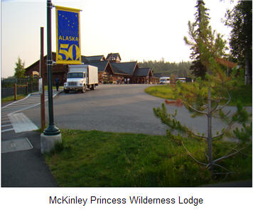
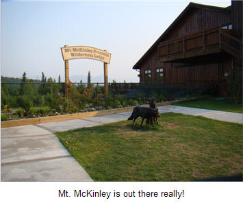
Woke up to a glorious day although haze was fairly thick. Had lunch at the Mt. McKinley Princess Wilderness Lodge with members of the Princess tour group and discussed the economy. After the group departed for a raft trip, we updated the log of Part 2 of our trip. In the evening, we decided to repack the GMC pickup and spent two hours on the effort. We drove zero miles today.
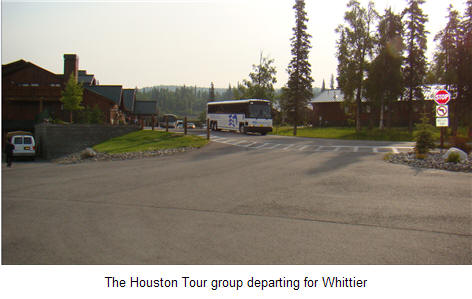
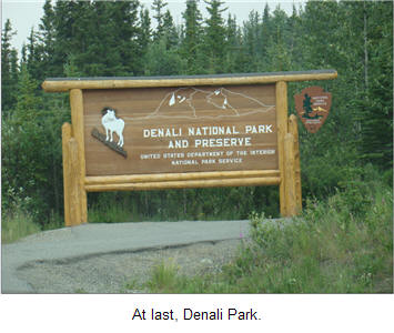
After breakfast with the Princess tour group, they loaded on buses to take the train to Whittier and their cruise ship for a trip to Vancouver. For me, it was a jaunt towards Denali Park in the pickup which was slightly multi-colored again and hopefully, views of Mt. McKinley again.
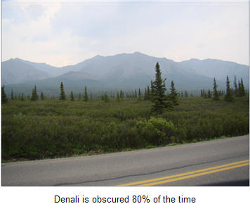
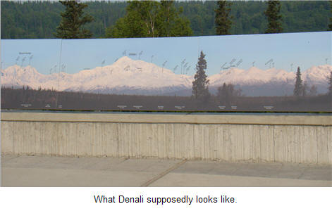
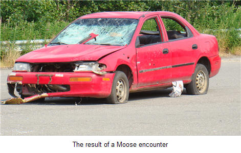
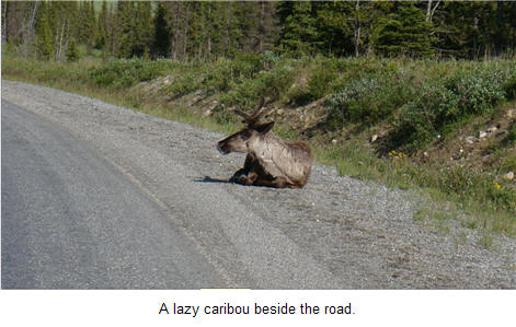
However, the haze and smoke from several forest fires made it impossible to see Mt. McKinley today although we did get to see several deer and caribou. We saw a car that had encountered a Moose and was slightly the worse for it.
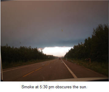
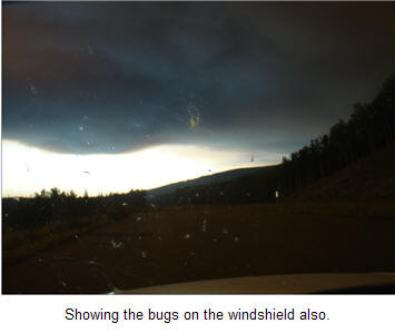
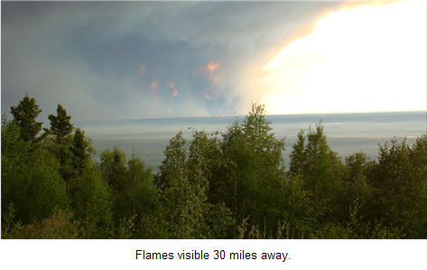
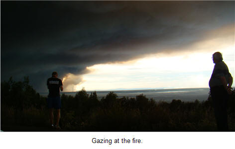
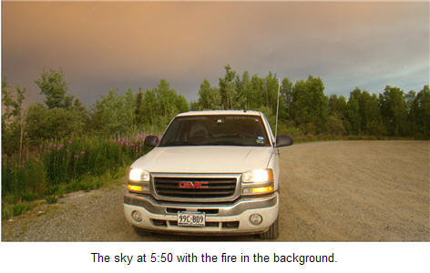
Then it was on to Fairbanks and on the way, we took some pictures of a major fire just north of Nenana on the Kantishna River on Alaska Highway 3. The fires were only about 30 miles from the major road between Anchorage and Fairbanks and could be clearly seen from the road. The smoke blotted out the sun for the first time in days.
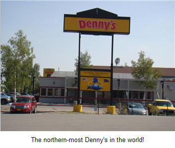
We arrived in Fairbanks at 8 p.m. and easily found our base for the next three days at the Super 8 motel which had internet access and was just next door to the northern most Denny's in the world. It seems that the Super 8 is the motel of choice for those hardy motorcycle riders who have braved the Alcan Highway. We drove a total of 250 miles today.
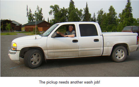
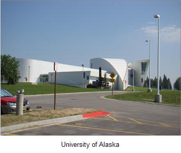
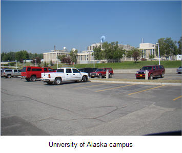
After a hearty breakfast at Denny's, we found a car wash and cleaned off 32 days grime and bugs ... lo, and behold, the GMC pickup is now white again. We visited the University of Alaska campus and Fort Wainwright after finding that Fairbanks could be seen in just a few minutes.
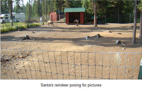
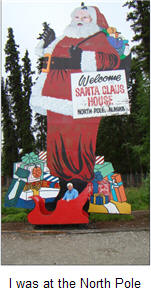
Took a fast trip out to the North Pole and found that Santa and his elves were away but the reindeer were happily posing for pictures.
In the evening, we again found ourselves eating at Denny's with a group of motor-cycle riders who were from Texas. We drove 36 miles today.
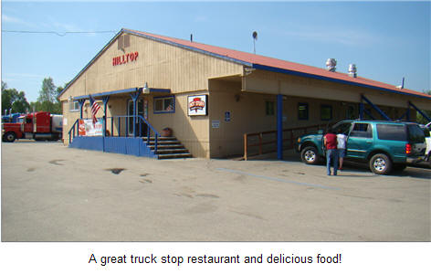
It was up bright and early as we headed out to Manley Hot Springs and if time permitted, a trip to Circle. The Texas motor-cycle riders had made the trip to Circle on July 7th and assured me that it was a piece of cake. HaHa. We made it to the Hilltop Restaurant for breakfast and after talking with an Alaskan trooper decided that Manley Hot Springs would be all we wanted to tackle in one day.
However, we only drove to the junction to Manley Hot Springs and headed back as the haze and smoke was bad. The fire encountered on the way up to Fairbanks was still burning and was moving toward Manley Hot Springs so we decided to stop. After returning to Fairbanks, we decided to have dinner at Pike's Landing on the river and enjoy the sun and food. Total miles today was only 89 miles.
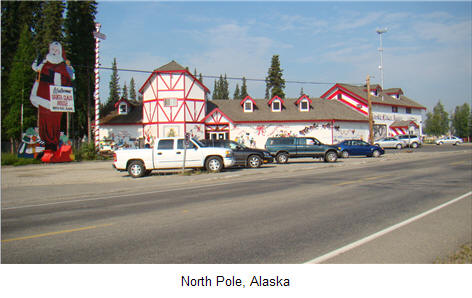
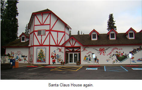
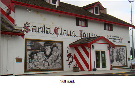
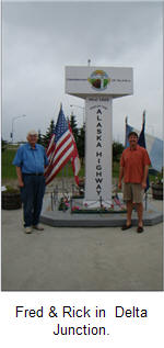
Had my breakfast at Denny's again, packed the pickup, and then headed to the Fairbanks airport to pick up my oldest son, Rick, who was flying in to drive the Alcan Highway with me from Fairbanks down to Calgary where he would leave to fly back to Dallas. We spent a few minutes after 9 a.m. touring Fairbanks and then headed down the highway towards the North Pole to see if Santa and his elves had returned.

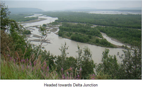
After doing the tourist bit, we headed towards Delta Junction along the Tanana River which flows through Fairbanks and then joins the mighty Yukon River which we will see several times during the trip. Just east of the North Pole is Eielson Air Force Base where we encountered our first moose alongside the security fence for the base. We were treated to the departure of a squadron of F-16's headed somewhere as we drove past the base. The sound did not even faze the moose.
The road from Eielson and towards Delta Junction is basically flat country although the hills do provide some vistas of the Tanana River as it flows west to join the Yukon River west of Fairbanks about 150 miles.
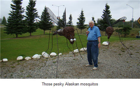
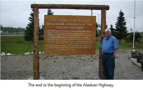
Delta Junction is the official end of the Alcan, or Alaskan, Highway. We were intrigued with the size of the mosquitoes at Delta Junction but the repellent that the Oklahoma City group had given me at the beginning of the trip seemed to have kept those pesky critters at bay.

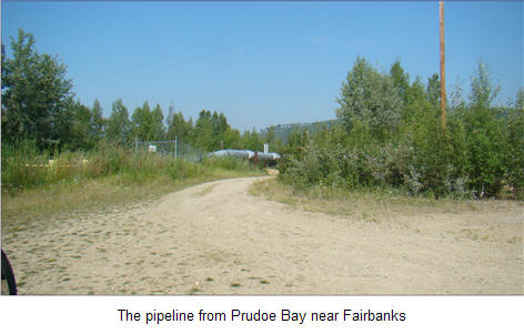
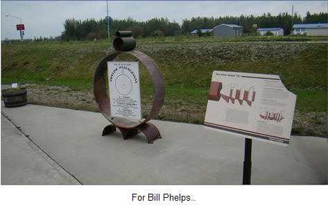
The pipeline picture shows the suspension bridge carrying the pipeline over the Delta River near Delta Junction.
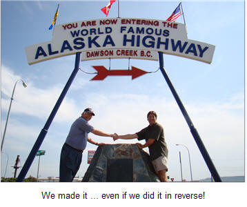
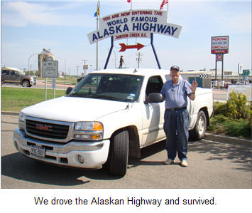
In our case, it is the beginning. We arrived in Delta Junction at 11 a.m. We stopped at the Alaskan Highway visitor center to get one of those signs that said "I drove the Alaska Highway and survived!". They have some interesting stores at Delta Junction, and Rick was accosted by a woman who wanted to sell him her shopping mall and furniture business. However, we only bought a cup of coffee from her. After a 30 minute visit to Delta Junction, we headed back to the highway for Tok 30 minutes later. We thought that Bill Phelps might be interested in some of the Alaskan pipeline so we have added a couple of pictures of the pipeline to the log.
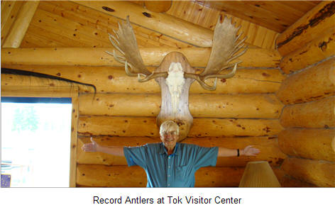
We arrived in Tok at 2 p.m. and had lunch at Grumpy Grizzlies and visited the Tok Visitor Center before filling up with gas and heading to Tetlin Junction.
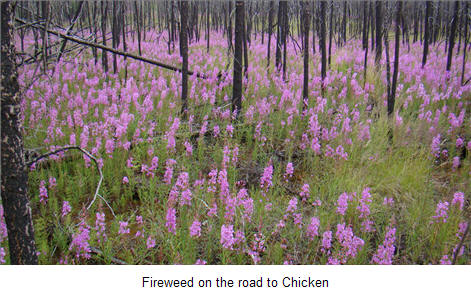
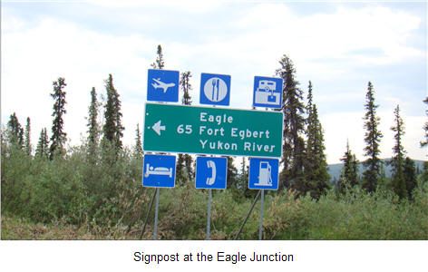
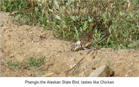
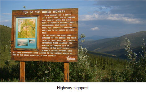
At Tetlin Junction, we left the Alaskan Highway to head towards Chicken on the Taylor Highway.
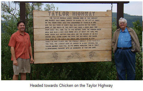
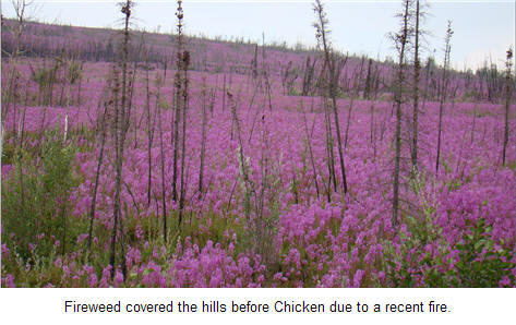
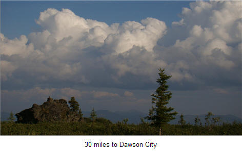
and the Top-of-the-World Highway to Dawson City. We got to Chicken in time to mail some post cards with the famous Chicken, Alaska postmark.
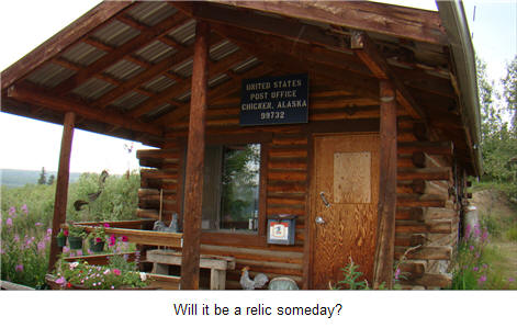
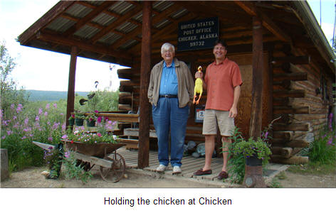
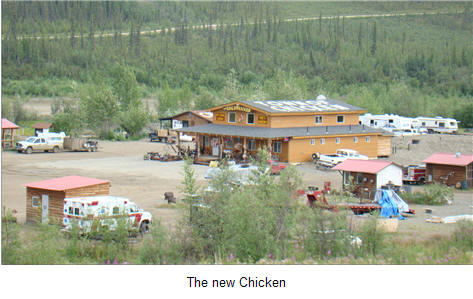
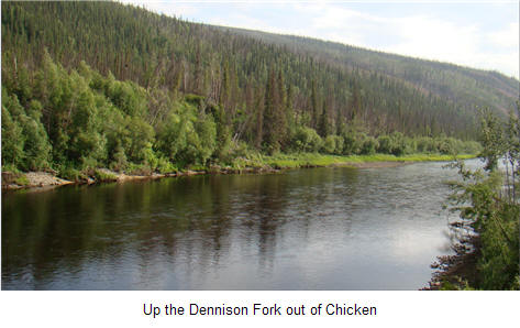
At Chicken, the Taylor Highway pavement ends as it became a dirt and gravel road up the Dennison fork of the Yukon River to Dawson City in the Yukon Territory of Canada. The old town of Chicken has a great restaurant but as we were in a hurry to clear Canadian Customs on the Top-of-the-World highway, we decided to only visit the new Chicken trading post.

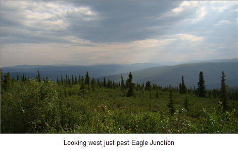
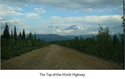
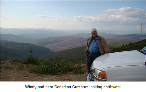
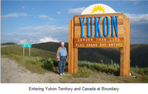
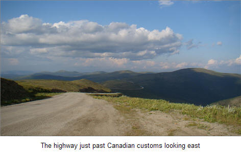
But what a view on the Top-of-the-World highway. We were able to clear Customs at 7:25 p.m. before Canadian Customs closes at 8 p.m. and then it was another two hours to Dawson City.


After clearing Customs, it was another 65 miles to Dawson City but since we were far north, the sun was still shining brightly.
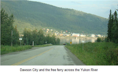
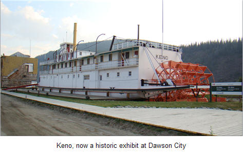
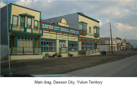
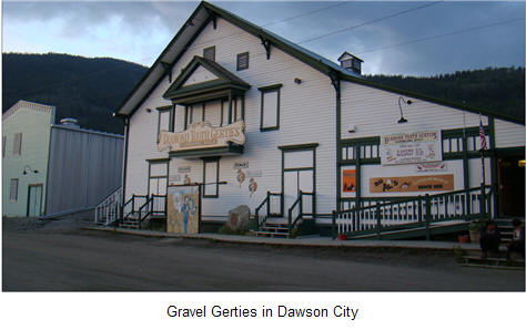
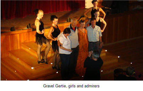
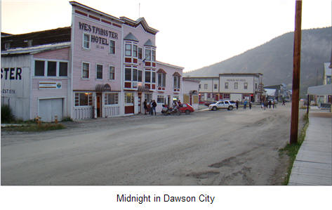
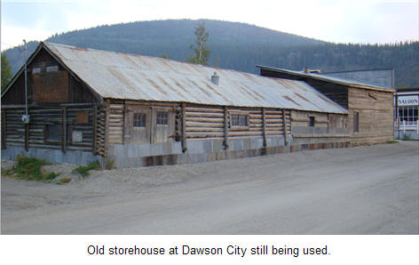
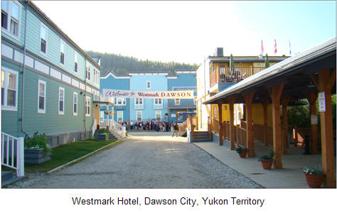
We arrived at the Westmark Dawson City, had dinner and saw a show at Gravel Gertie's before retiring after a long and enjoyable day.
We drove 397 miles today.
Breakfast at the Westmark hotel along with masses of tourists visiting Dawson City on charter busses. The Westmark had internet service only in the lobby and restaurant areas but the buffet breakfast was delicious.
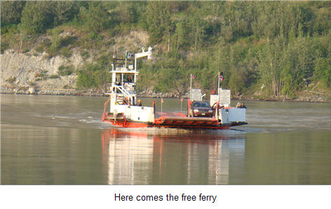
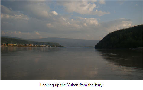
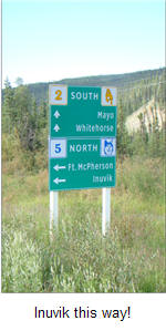
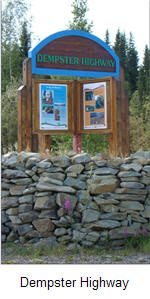
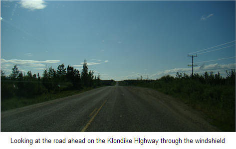
We were ready to leave Dawson City by 8:30 a.m. on the Klondike Highway (Yukon 2) to Carmacks up the Yukon River after filling the pickup with Shell gasoline. A few miles out of Dawson City on the Klondike Highway is the road to Inuvik, Northwest Territories via the Dempster Highway. Someday, I may come back and try to drive it.
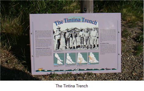
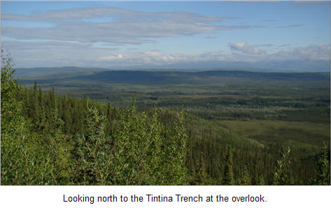
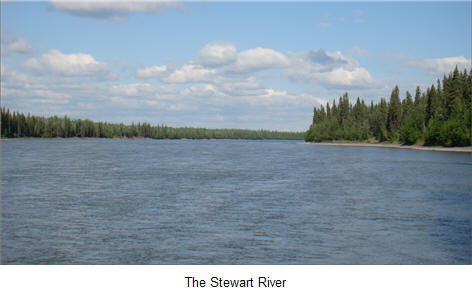
We left the Yukon River while crossing the bridge at Stewart's Crossing and headed up the hill to the Tintrina Trench, a major flyway for migratory birds. The vista stretched to the horizon as far as the eye could see.
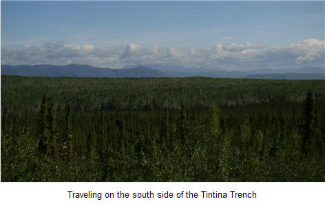
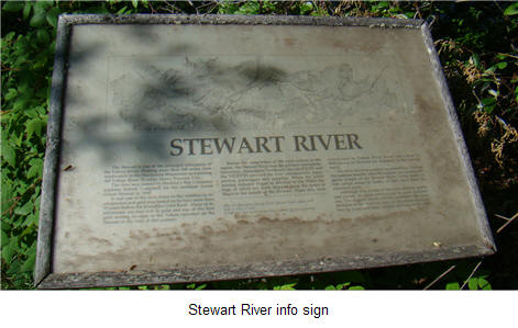
From the overlook, we headed southeast through wilderness until we reached the Stewart River at Stewart's Crossing on the Klondike Highway.
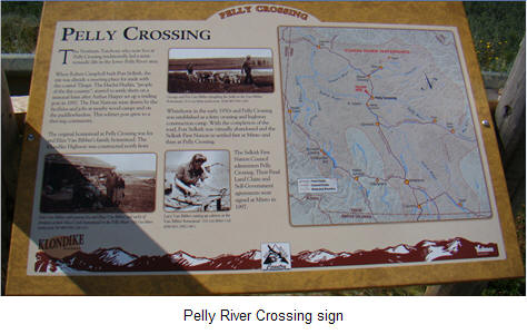
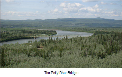
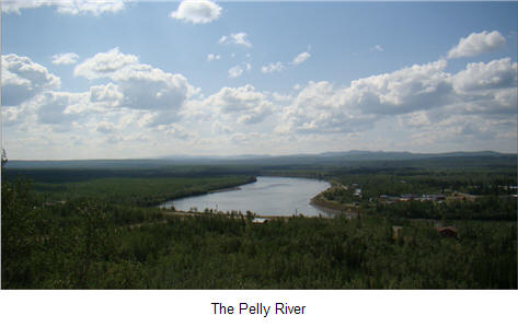
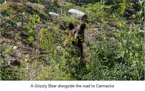
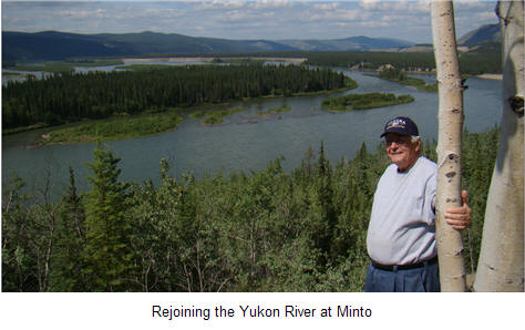
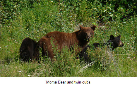
We were then off another hundred miles or so to the Pelly River Crossing before rejoining the Yukon River again at Minto. We saw some wild animals between Pelly River and Carmacks and were able to photograph a grizzly bear.
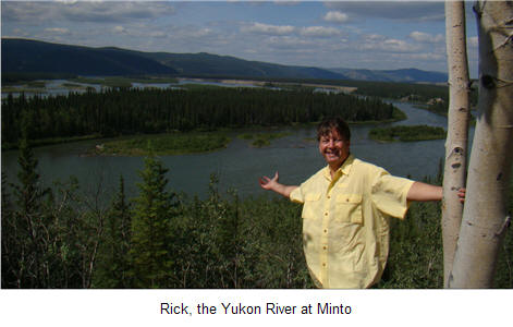
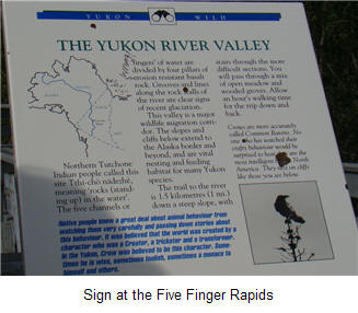
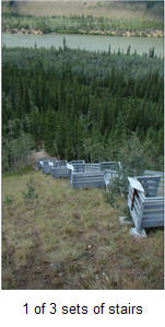
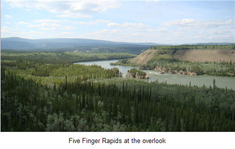
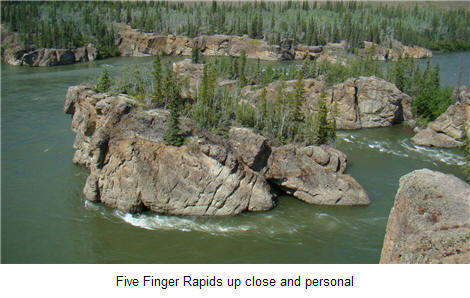
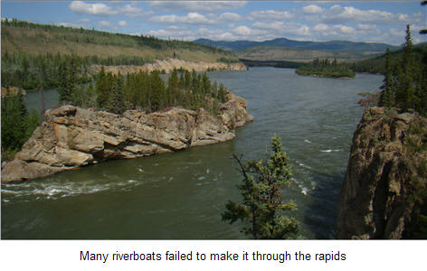
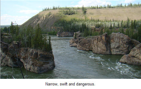
At Five Finger Rapids, Rick took a 30 minute hike down to the river to get some photo's of the rapids and some exercise. Since it was several hundred feet down to the river, I relaxed at the overlook.
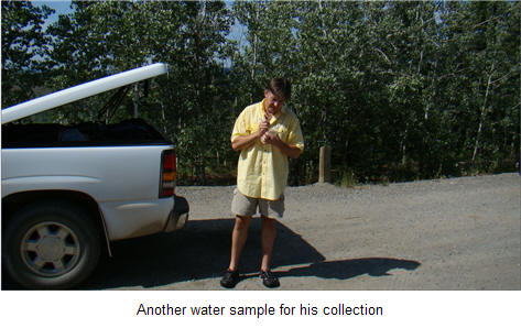
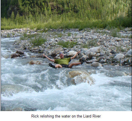
Rick was always collecting water samples from various sources for his collection from around the world and got these from the Yukon.
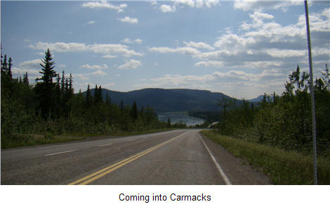
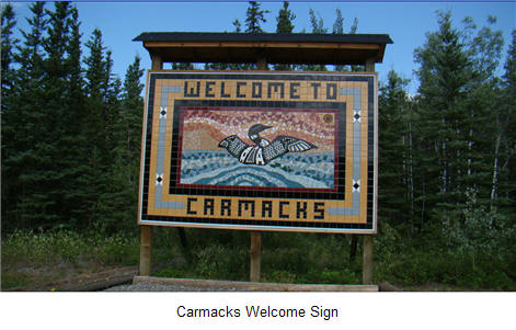
We arrived at Carmacks at 2 p.m. and filled up with gas and got some food at one of the general stores. The pay phone was out of order so we could not make a motel reservation in Watson Lake.
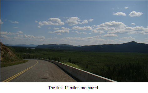
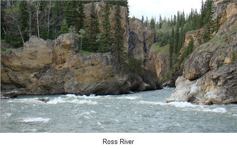
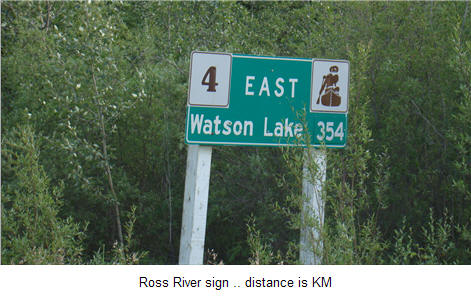
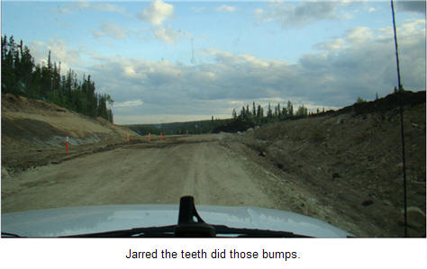
The Robert Campbell Highway (Yukon Highway 4) runs from Carmacks through Ross River to Watson Lake. It is 360 miles of basically gravel road with many bumps and pot-holes.

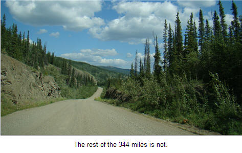
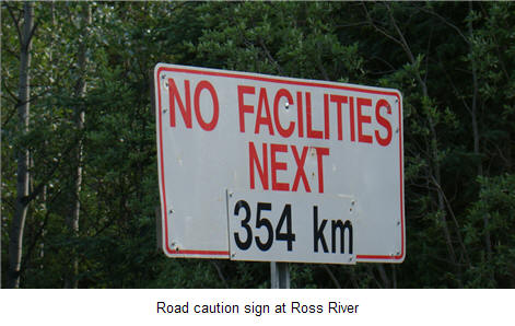
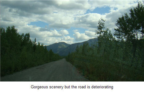
The Robert Campbell is not heavily traveled as only 37 cars came towards us in those 360 miles and we did not pass one. Talk about your basic lonely road ... that is the Campbell Highway.
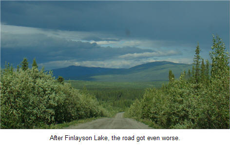
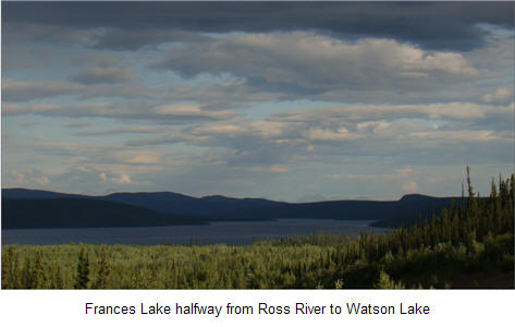
Shortly after we passed Frances Lake, we began to see road signs for road repairs. We could not help but wonder how long they had been there and if anyone had actually had a road grader on the road from Ross River to Watson Lake in the last few months. Of course, the Yukon Territory also has its budget problems. But we were soon to find the worst road conditions as we were got close to Watson Lake.
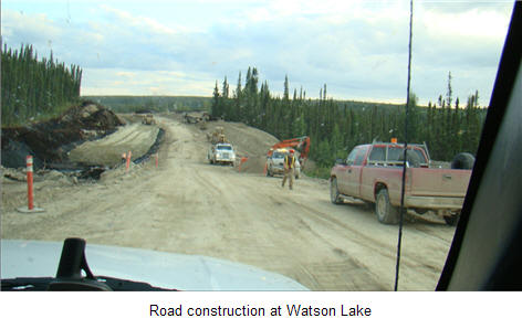
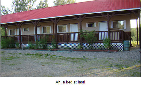
We arrived in Watson Lake at 9:45 p.m. and finally found a room ... really just a cabin but with running hot water and mosquito's to keep us awake.
We drove 589 miles today.
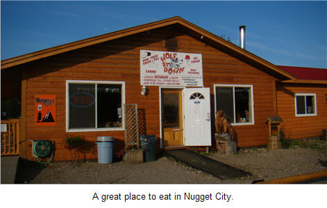
After packing up in the morning, we headed west to the Cassiar highway junction to have breakfast at 7 a.m. at the Wolf It Down restaurant at Nugget City.
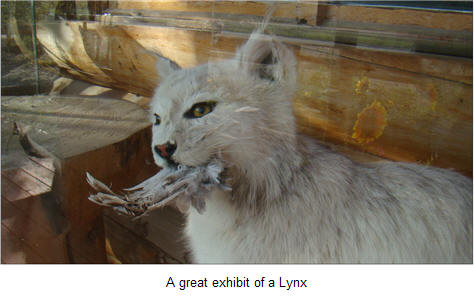
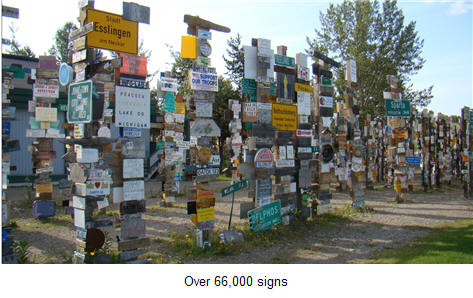
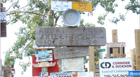
After eating the Hungry Bear breakfast and one cup of coffee, we went back east 20 miles to Watson Lake where we filled up with gas and spent time once again at the forest of sign posts for which Watson Lake is famous.
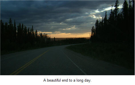
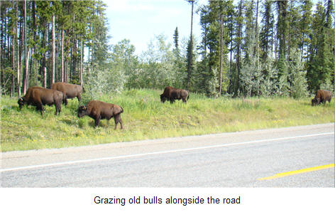
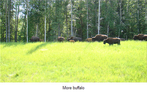
Just down the road a bit, we entered British Columbia saying goodbye to the Yukon Territories. It had been a great trip from Boundary to Dawson Creek, Carmacks, Ross River and down to Watson Lake. Back on the Alaskan Highway, we began to see more cars headed north towards Alaska. Bears and buffalo were almost standing on the highway as we headed south from Watson Lake on the Liard River.

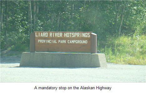
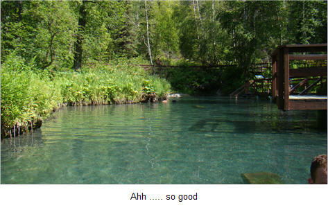
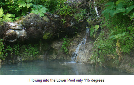
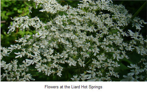
One of the highway's real treats is the Liard Hot Springs. We took a two hour break and enjoyed the soothing waters ... flushing out some of the pain from the Campbell Highway drive of yesterday.
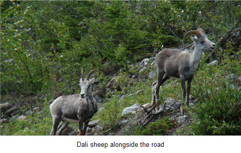
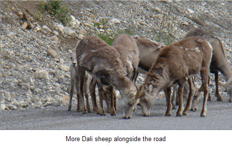
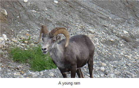
Today we saw the most animals of any day on the trip so far. After the Liard Hot Springs, we ran into another herd of buffalo.
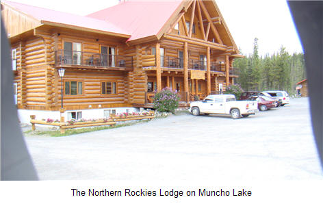
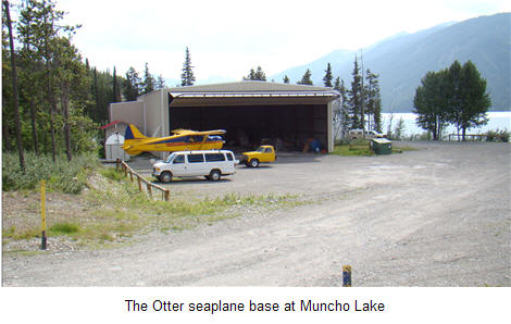
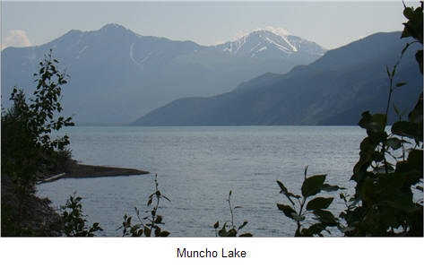
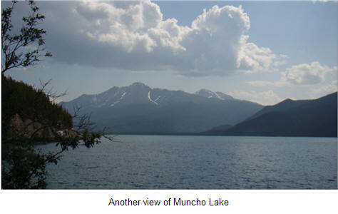
About 2:30 p.m., we arrived at Muncho Lake and had a great lunch at the Northern Woods Lodge.
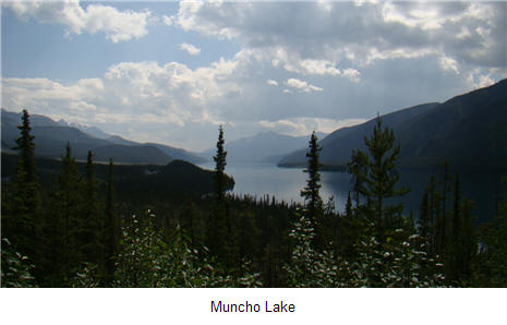
At 2:30 p.m., we had a great lunch at the Northern Rockies Lodge at Muncho Lake. What a fabulous place and Rick is trying to figure a way to come back and fish at some of the outlying cabins.
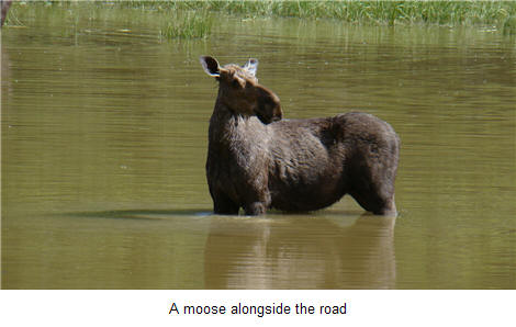
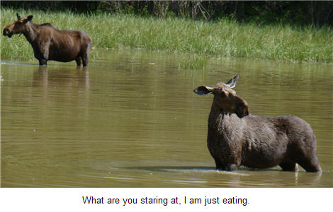
Just passed Muncho Lake, we found two moose eating in a pond.
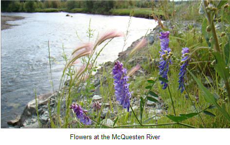
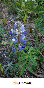
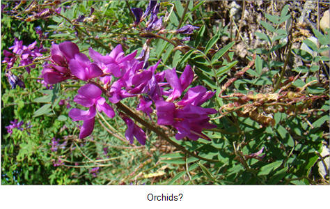
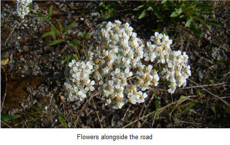
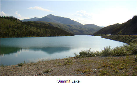
We finally found Summit Lake and Rick took some more pictures of flowers.

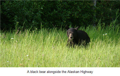
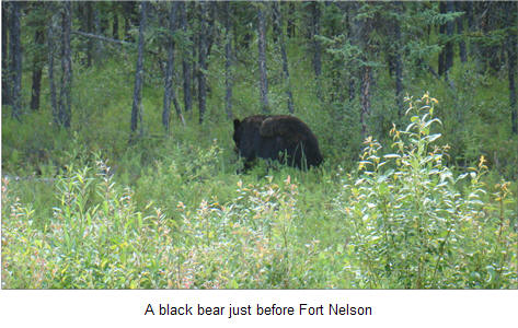
Just before Fort Nelson, we ran into another bear.
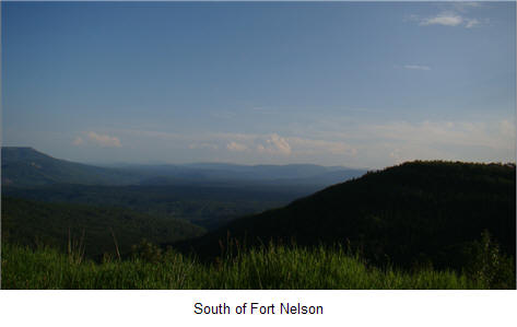
We finally arrived in Fort Nelson at 7:30 p.m. and found Dan's Neighborhood Pub, a bar that was still open for dinner. We drove 337 miles today.
After breakfast at the hotel, we left Fort Nelson on the final leg of our trip on the Alcan highway down to Dawson Creek. We filled up with gas in Fort Nelson and then headed south. Our neighbor in Richardson, Bill Gaither, had commented before I left on the trip that Alaska was nothing but trees, trees, and more trees ... somehow, my son seems to agree.
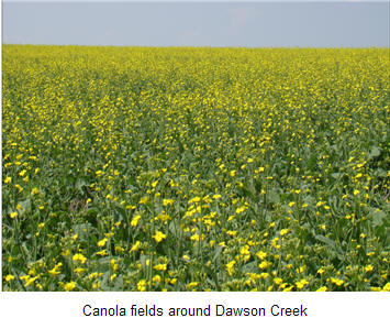
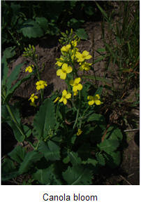
About Fort St. John, the forest began to give way to farming and canola fields.
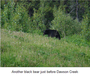
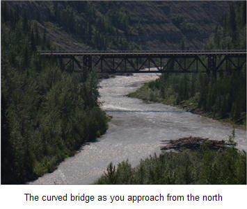
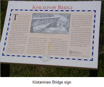
We were surprised at the size of Fort St. John and all the new shopping centers. It is larger than Dawson Creek and looks like a prosperous community thanks both to lumber and energy industries. Close to Dawson Creek, we took the old Alaska Highway to see the famous curved bridge and discovered another black bear.
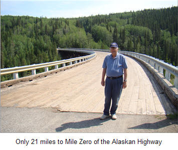
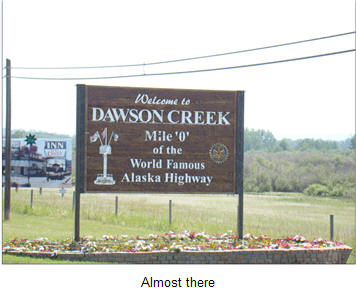
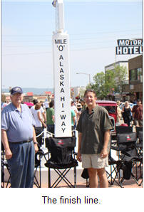
At 12:45 p.m. we entered Dawson Creek and found Milepost "O" of the Alcan Highway. The pickup odometer read 69,378 miles. We had driven 8,591 miles from Dallas to get to Dawson Creek.
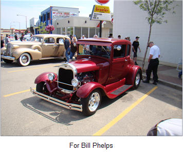
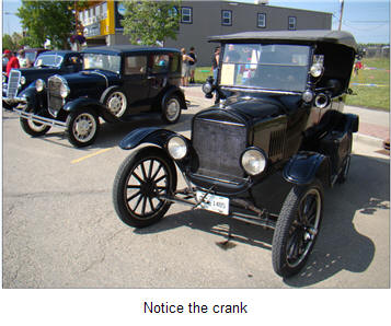
There was a major auto show of old cars in downtown Dawson Creek and we took some pictures while stretching our legs.
We then headed towards Grande Cache, British Columbia for the night at the Alpine Motel. Total mileage today was 472 miles.
Part 4 of our Trip through the Canadian Rockies, Glacier National Park and Yellowstone Park will be published in the near future.